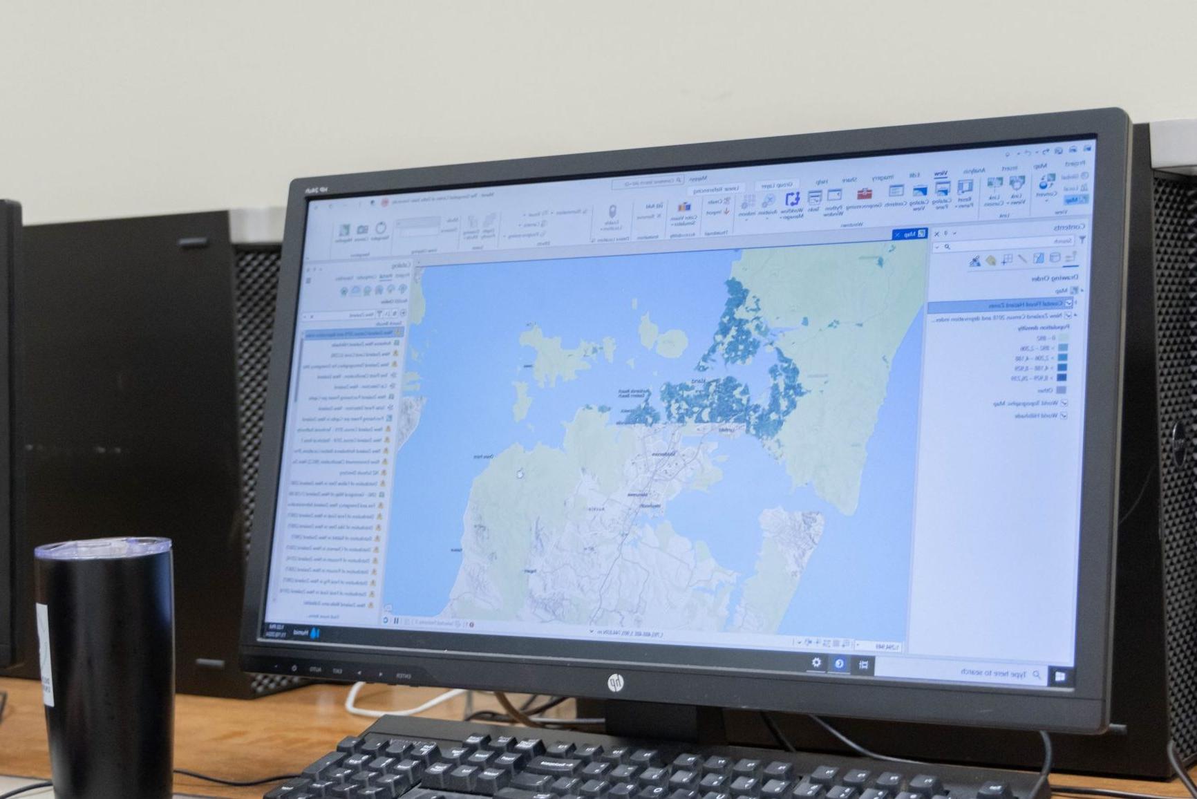
The Division of Accountancy, CIS, and GIT within the College of Business and Aviation at Delta State offers a Master of Applied Science (M.A.S.) in Geospatial Information Technologies (GIT) with 4 concentrations. This program provides a fully online, 30-hour curriculum designed for both new and experienced GIS professionals. DSU’s MAS-GIT program equips you with the cutting-edge knowledge and skill sets needed to thrive in geospatial technologies. Our curriculum focuses on advanced applications of GIT, integrating spatial analysis, data management, and decision-making in real-world environments. These transferable skills prepare you for success in the workforce and advanced careers across various fields.
This flexible, 16-month program is tailored to help you advance your career without disrupting your daily work life. With access to robust resources both online and on campus, the MAS-GIT program prepares graduates for impactful careers in geospatial technologies, including roles in government, industry, and academia. Delta State also offers an online Bachelor of Applied Science in Geospatial Analysis and Intelligence, which establishes a great foundation for the M.A.S. in Geospatial Information Technologies.
Online

A Top 5 Nationally Ranked Program
Month Program
(With Flexibility)
Why Get an Online Geospatial Information Technologies
Master’s Degree at DSU?
The Geospatial Information Technologies master’s degree online from Delta State University unlocks advanced career opportunities in both the public and private sectors. Emphasizing critical spatial analysis and technical expertise, this program prepares professionals to excel in industries that depend on geospatial insights. Designed for students from academic and professional fields—including geography, environmental science, computer science, engineering, business, and urban planning—the Geospatial Information Technologies master’s program equips you to address complex spatial challenges, make informed decisions, and lead impactful projects across a wide range of industries.
- Applications accepted Fall and Spring
- Flexible enrollment
- Online student advisement
- 30-hour program
- Complete at your own pace
- Multiple start times (Fall, Spring, and Summer)
Concentrations in the M.A.S. in
Geospatial Information Technologies
- Geospatial Science and Advanced Analysis
- Remote Sensing
- Advanced Coding
- Database Management and Big Data

Geospatial Science and Advanced Analysis
The Geospatial Science and Advanced Analysis provides training in spatial data processing and GIS software development using the ArcGIS Suite. Students learn advanced techniques in spatial modeling, geostatistics, and geographic data analysis, gaining skills to solve complex spatial challenges across various industries.

Remote Sensing
The Remote Sensing concentration provides students with in-depth training in remote sensing techniques, including image processing, interpretation, and application in various fields such as environmental monitoring and urban planning using ENVI as well as other remote sensing programs. This concentration emphasizes using satellite and aerial imagery to extract meaningful environmental and infrastructural insights.

Advanced Coding
The Advanced Coding concentration provides hands-on training in coding and automation to enhance geospatial analysis capabilities. Students learn to leverage Python, R Studio, and ArcGIS Arcade for advanced data manipulation, spatial analysis, and custom tool development. By mastering these programming languages, students can create automated workflows, perform complex analyses, and develop bespoke GIS solutions.

Database Management and Big Data
The Database Management and Big Data concentration provides training in spatial database management and big data analytics equips students to handle and analyze large geospatial datasets. You will learn to leverage databases and cloud-based platforms, preparing you for data-intensive roles in the industry.
What Can I Do With a Master’s Degree in Geospatial Information Technologies?
Graduates who’ve earned the M.A.S. degree in Geospatial Information Technologies are well-positioned for roles with higher earning potential and greater responsibility. In a rapidly growing field, professionals with expertise in GIS, remote sensing, and spatial data science are increasingly in demand.
Booming job opportunities exist across differing fields, including environmental management, geospatial intelligence, urban and regional planning, natural resources, ecology, economics, transportation, and various businesses and government agencies. Organizations like NASA, the Environmental Protection Agency, Esri, local and federal government agencies, environmental consulting firms, real estate companies, and logistics companies have a strong demand for GIT professionals. With a degree in Geospatial Information Technologies, you’ll be well-equipped to contribute to critical projects across these sectors and more. Some job opportunities include:
- GIS manager
- Geospatial data scientist
- Environmental consultant
- Urban and regional planner
- Surveyor
- Disaster response specialist
- Public health GIS specialist
- Spatial database manager

”My experience in this program was wonderful! The classes offered by the program were great! Each course was independently important and vital to providing the knowledge and skills needed to succeed in the industry. I enjoyed interactions with faculty and students and discovered possibilities from my classmates throughout the semesters. This degree definitely changed the trajectory of my career moving forward!
John Lett, Class of 2022GIS Manager, Soterra LLC
Graduate Funding Opportunities
Graduate students at Delta State University have a number of funding opportunities available to them, including Graduate Assistantships, fellowships, scholarships, and loans. In addition, we also offer an affordable tuition rate with no additional fees for out-of-state students. We work closely with students to identify and apply for federal and state financial aid programs, as well as student loans and state scholarships. We are committed to providing our students with all of the tools necessary to succeed in the education field, including access to affordable education and financial support.
Program Goals
The purpose of the MAS-GIT program is to provide education and training in the theory and practice of geospatial information technologies. The MAS-GIT program is designed for professionals and aspiring GIS specialists seeking to enhance their technical skill set in preparation for advanced career opportunities, as well as recent graduates aiming to enhance their expertise in geospatial science. We provide the tools and knowledge needed to excel in the geospatial field, helping you leverage spatial data to make impactful decisions and contribute meaningfully to your career path.

Address and Mailing
Division of ACC, CIS, GIT
College of Business and Aviation
DSU Box C-4 Walters 116B
Cleveland, MS 38733

